Lion Rock hike guide — the peak that defines Hong Kong's spirit
Hong Kong: Lion Rock ridge views guided hike 4 hours
Duration: 4 hours
How hard is the Lion Rock hike and how long does it take?
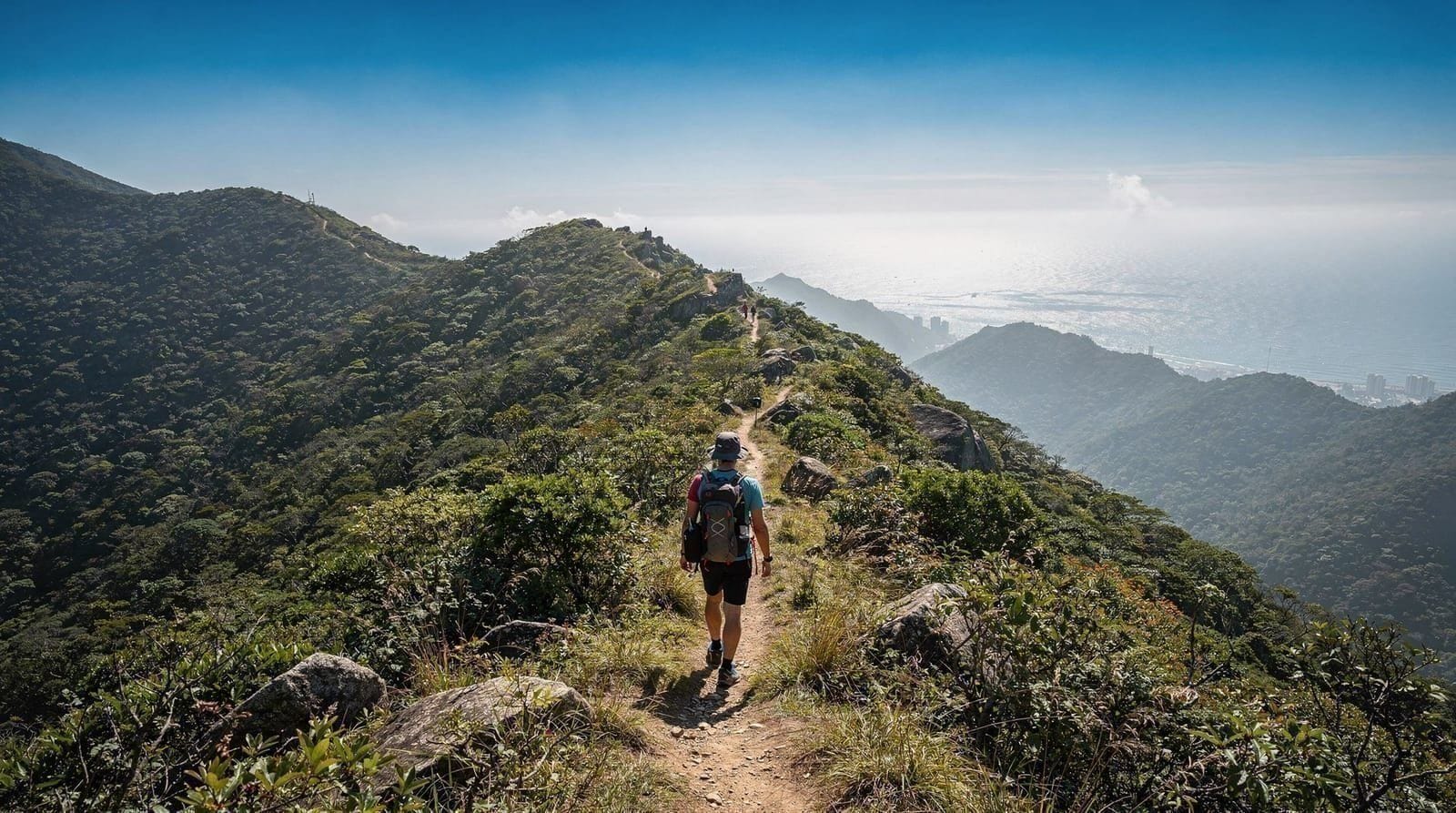
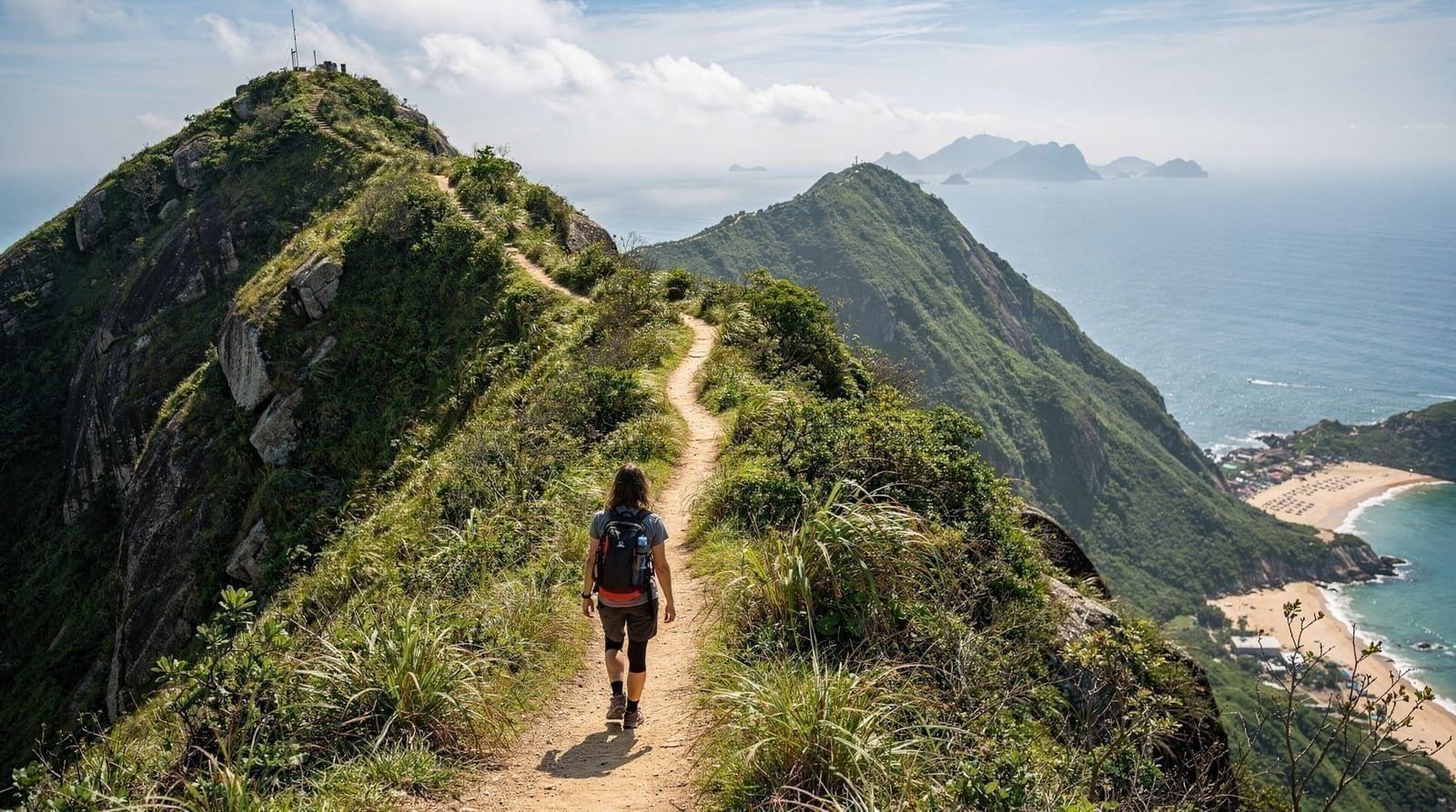
Lion Rock is a moderate-to-challenging hike of 5–7km depending on approach, with around 400m of elevation gain to the ridge. The final scramble to the lion's head is steep and requires hands-on rock. Allow 2.5–3.5 hours return. Access from Kowloon via MTR to Wong Tai Sin or Sha Tin MTR stations.
More than a hike
Lion Rock is not Hong Kong’s highest or longest hike. At 495m it is surpassed by Lantau Peak (934m), Tai Mo Shan (957m), and several Sai Kung hills. Its significance is cultural as much as geographic. For most of Hong Kong’s post-war population, Lion Rock — visible as a crouching lion silhouette from across Kowloon — was the backdrop to the experience of building a city from almost nothing: arriving as refugees, living in squatter settlements, working in factories, and within a generation creating one of Asia’s wealthiest urban economies.
The “Lion Rock Spirit” is a phrase still used in political speeches, newspaper editorials, and conversation — invoked both by those celebrating Hong Kong’s resilience and by those lamenting the conditions that necessitated it. Standing on the ridge with Kowloon’s full residential density spread below gives this more than abstract meaning.
For hikers, the combination of accessibility (MTR to the trailhead), panoramic views, and cultural weight makes Lion Rock one of the most worthwhile hikes in Hong Kong.
| Distance | 3.5–4km one way (Wong Tai Sin approach) |
| Elevation gain | ~400m |
| Time needed | 2.5–3.5 hours return |
| Difficulty | Moderate, with a steep hands-on scramble near the top |
| Getting there | MTR to Wong Tai Sin (Kowloon side) or Sha Tin |
| Best time | October–March, weekday mornings |
Two approaches: Wong Tai Sin vs Sha Tin Pass
Wang Tau Hom / Wong Tai Sin approach (from Kowloon, recommended for most visitors):
- MTR Kwun Tong Line to Wong Tai Sin station, exit D3
- Walk along Ching Tak Street for approximately 8 minutes until the residential blocks thin out and the Lion Rock Country Park access begins
- Follow the trail signs for “Lion Rock” — the main path climbs steadily through open hillside
- From the MTR exit to the summit: approximately 3.5–4km, 400m elevation gain, 2–2.5 hours
This approach puts you directly on the Kowloon-facing side of the mountain, so the views of the city open below you as you climb. The ascent is the harder work; the views reward it continuously.
Sha Tin Pass approach (from Sha Tin, offers longer ridge walk):
- MTR East Rail Line to Sha Tin station, then a 20-minute walk or short taxi to Sha Tin Pass Road
- The trailhead at the pass joins the ridge at the saddle between Lion Rock and the Kowloon hills
- From Sha Tin Pass to the summit: approximately 1.5–2km, 200m gain
- The Sha Tin approach is shorter to the ridge from the north but involves more transit time to reach the starting point
Combined route (recommended for experienced hikers): Ascend from Wong Tai Sin, traverse the ridge, and descend to Sha Tin — a through-route of approximately 7–8km taking 3.5–4.5 hours. Ends at Sha Tin station for easy MTR return.
The summit scramble: what to expect
The trail to the lion’s mane ridge (approximately 460–480m) is a conventional footpath — sometimes steep, with rock steps and compacted earth, but manageable in normal conditions. The final section from the main ridge to the “lion’s head” formation (the rounded rock at the highest point of the massif) involves a scramble:
- Approximately 50–70m of rock ascent
- Handholds on the rock face are plentiful and the route is well-worn
- Some sections require both hands — poles should be stored
- In dry conditions: manageable for adults without fear of heights
- In wet conditions: the rock becomes slippery and the scramble is genuinely hazardous. Do not attempt if the rocks are wet
The final view from the lion’s head — which protrudes beyond the main ridge — gives a 360-degree perspective that the main ridge partially blocks. On clear days you can see: Kowloon directly below (with the Kwun Tong industrial area, the Kowloon Walled City park, the high-density residential blocks of Wong Tai Sin and Diamond Hill); Hong Kong Island and Victoria Harbour to the south; the New Territories extending north (Sha Tin, Tai Po, and the hills toward the border); Sai Kung’s hills and islands to the east.
Lion Rock ridge guided hike — 4 hours with local guideThe cultural dimension: what Lion Rock means
The 1970s television series Below the Lion Rock (獅子山下) depicted the struggles of ordinary Hong Kong families during the rapid development period. The series, produced by RTHK, became synonymous with a specific Hong Kong identity — pragmatic, family-oriented, hard-working, making do with limited space and resources. The theme song became one of the most famous in Cantonese popular culture.
During the 2014 Umbrella Movement, protesters suspended a 12-metre banner reading “I want genuine universal suffrage” from Lion Rock’s summit — an act requiring considerable technical skill and commitment, given the elevation and the scramble involved. The image of the banner against the mountain was widely circulated internationally. During the 2019–2020 protest period, Lion Rock again became a recurring symbol on banners and in artistic work.
This does not change the hiking experience directly, but it adds a layer of meaning that is absent from most other Hong Kong landmarks. Walking from a working-class Kowloon neighbourhood up to the ridge where the city’s history and its political aspirations have been projected simultaneously is a different kind of urban hike.
Sunset and night hikes
Lion Rock facing west makes it one of Hong Kong’s best sunset hiking destinations. The Kowloon towers below are lit from the west in the final hour before sunset; after dark, the full city light display opens — Kowloon’s residential density lit orange and white, Victoria Harbour’s navigation lights, Hong Kong Island’s commercial towers illuminated.
Logistics for sunset hikes:
- Arrive at the trailhead no later than 2.5 hours before sunset to reach the summit comfortably
- Bring a headlamp or torch for the descent (essential — the path is unlit)
- The scramble section is more difficult in low light — some hikers descend to the main ridge before dark and finish the descent on the better-lit path
What to bring
Essential:
- 1–1.5 litres of water per person
- Sturdy footwear with grip (trail shoes minimum; hiking boots for the scramble section)
- Headlamp or torch (for afternoon or sunset hikes)
- Sun protection (ridge is exposed April–October)
Useful:
- Trekking poles (for the descent, not needed for the scramble section)
- Light jacket/windproof layer (October–March, the ridge can be cold and windy)
- Camera or phone with spare battery
Leave behind:
- Sandals or open-toed shoes
- Heavy bags (the scramble section is easier without large loads)
Combining Lion Rock with other Kowloon sights
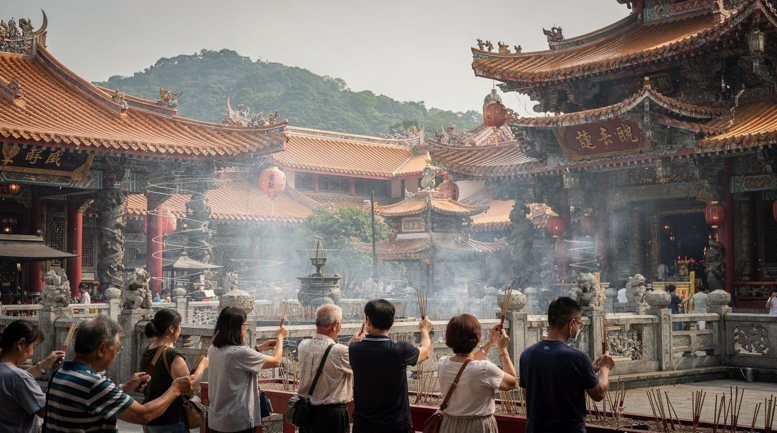
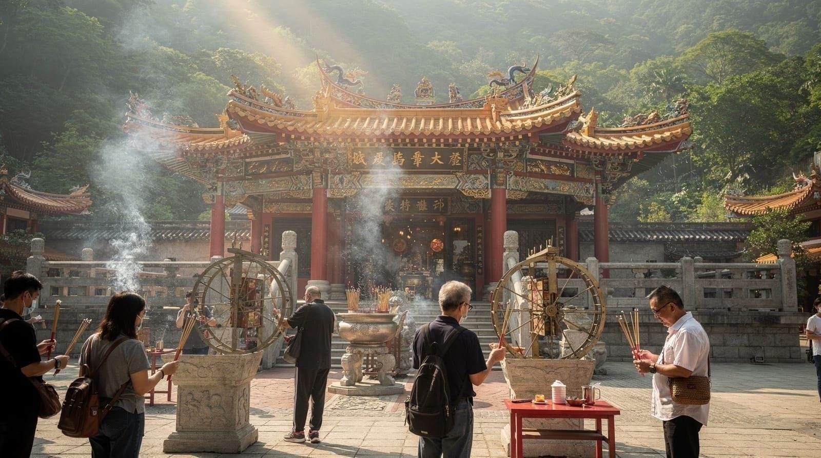
After the hike (descending to Wong Tai Sin), the Wong Tai Sin Temple is 10–15 minutes on foot from the descent point and the MTR station — a natural combination for a Kowloon day covering the peak cultural and religious sites simultaneously.
The Chi Lin Nunnery at Diamond Hill is 2 MTR stops from Wong Tai Sin on the Kwun Tong Line — convenient for a post-hike visit if you finish early.
For the broader hiking context, the best hikes in Hong Kong guide compares Lion Rock with Dragon’s Back, the Lantau Trail, and Sai Kung routes.
Is this a good hike for a first-time visitor to Hong Kong?
It depends on your comfort with the scramble. If you’re hiking-fit but new to Hong Kong’s terrain, Lion Rock is a genuinely rewarding introduction — accessible directly from an MTR station, no need for a car or long bus transfer, and a payoff that most first-timers don’t expect from a city break. If the idea of a hands-on rock scramble puts you off, treat the main ridge (skipping the final lion’s head section) as the goal instead; the views from there are still among the best in Kowloon, and you avoid the exposure of the final climb entirely.
Practical information
- MTR: Kwun Tong Line to Wong Tai Sin station, exit D3
- Trailhead: 8–10 min walk from Wong Tai Sin MTR exit D3 toward Lion Rock Country Park
- Distance: 3.5–4km one way (Wong Tai Sin approach); 7–8km (through route to Sha Tin)
- Elevation gain: ~400m (Wong Tai Sin approach)
- Time: 2–2.5 hours one way; 3.5–4.5 hours through route with descent
- Difficulty: Moderate; scramble to lion’s head adds a challenging section
- Best season: October–March; November–February optimal
Lion Rock vs Hong Kong’s other signature hikes
Lion Rock is often compared with Dragon’s Back, Hong Kong’s most internationally famous hike. Dragon’s Back is longer, gentler, faces south toward open coastline and outlying islands, and has no scramble section — a better choice for hikers who want views without exposure to rock climbing. Lion Rock is shorter, steeper, faces the dense urban core of Kowloon, and carries the cultural weight that Dragon’s Back doesn’t.
Neither replaces the other; on a longer trip, doing both gives two genuinely different perspectives on the territory. For the full comparison including Sai Kung’s geopark trails and the Lantau Trail, see best hikes in Hong Kong.
Pairing the hike with Victoria Peak
If you’ve already done Victoria Peak’s circle walk and want a second panoramic vantage point that shows a completely different side of the city — Kowloon’s density rather than the harbour skyline — Lion Rock is the natural next stop. The two views are genuinely complementary rather than redundant: the Peak faces the harbour and Hong Kong Island, Lion Rock faces Kowloon and the New Territories.
Reading the weather before you go
Lion Rock is a short hike, which makes it easy to underestimate. The ridge is exposed, and conditions at the top can differ a lot from the streets of Kowloon. Check the forecast the evening before and again in the morning, and treat a hazy or cloudy day as a reason to postpone rather than a small inconvenience: the whole point of the climb is the view, and the scramble is at its least pleasant when visibility is poor. If you are travelling in the hotter months, the Hong Kong in summer guide explains what to expect from the heat and humidity, and the typhoon season guide covers the days when you should not be on a ridge at all. For the cooler, clearer window that suits this hike best, see the Hong Kong in winter guide and the best time to visit Hong Kong.
Pacing yourself on the way up
The climb from the Kowloon side is steady rather than technical, and most people who struggle do so because they start too fast. Take the lower slopes slowly, stop where the views open out to drink some water, and save your energy for the steeper rock steps near the ridge. Walking at a conversational pace also means you arrive at the scramble with steady legs and a clear head, which matters more than speed on exposed rock. If someone in your group is flagging, the main ridge is a perfectly respectable place to turn the hike into a picnic and a photo stop, and nobody should feel pressured to continue to the lion’s head.
On the way down, take the same care. Tired legs and loose ground are a common combination, and the descent is where most slips happen. Trekking poles help here, and giving yourself time before dusk keeps the walk back relaxed.
Getting to the trailhead without stress
Both approaches start on the MTR, so there is no need to hire a car or work out buses. If the network is new to you, the Hong Kong MTR guide explains how the lines connect, and the Octopus card guide shows the simplest way to pay for every ride on the way there and back. Arriving at the trailhead early on a weekday gives you the quietest path and the coolest conditions, and it leaves the afternoon free for the rest of your Kowloon plans.
Where Lion Rock fits in a longer trip
Because the hike is compact and starts at a station, it slots easily into a wider plan. Visitors with a few days in the city can place it alongside other Kowloon sights using the Hong Kong first-timer itinerary or the three-day itinerary, swapping it in on a clear morning. If you are still deciding how long to stay, the how many days in Hong Kong guide helps you judge whether there is room for a half-day on the hills. For travellers who want more nature after Lion Rock, the Sha Tin district at the northern end of the through-route is worth a short stop, and the Wong Tai Sin district at the southern end rewards a slow wander once your legs have recovered.
Hikers who enjoy the mix of city and wilderness should also look at the wider Hong Kong outlying islands guide and the top things to do in Hong Kong for ideas on what else to pair with a hill day.
Frequently asked questions about Lion Rock hike guide — the peak that defines Hong Kong's spirit
How do I get to Lion Rock trailhead?
What does "Lion Rock Spirit" mean?
Is Lion Rock a difficult hike?
What are the views from Lion Rock?
Is there a guided hike option for Lion Rock?
When is the best time to hike Lion Rock?
Is there water on the Lion Rock trail?
Top experiences
Bookable activities with verified prices and instant confirmation on GetYourGuide.