Lantau Trail guide — Hong Kong's most challenging long-distance walk
Hong Kong: Big Buddha tour and skip-the-line NP360 cable car
What is the Lantau Trail and can I do part of it in one day?
The Lantau Trail is a 70km circular trail around Lantau Island, divided into 12 sections. The most accessible day-hike section is Section 3, from Ngong Ping to Lantau Peak (934m) and back — approximately 7km, 3–4 hours, accessible from the Ngong Ping 360 cable car. This can be combined with the Big Buddha visit on the same day.
Lantau: Hong Kong’s largest island, least understood
Lantau Island is roughly twice the size of Hong Kong Island but has a fraction of its population. Most of this is mountainous terrain — forested ridges, reservoir catchments, and the 934m Lantau Peak that dominates the island’s skyline. The Lantau Trail circuits this terrain in 12 sections totalling 70km, passing through coastal plains, mountain ridges, fishing villages, and some of Hong Kong’s most genuinely wild landscape.
| Full trail | 70km, 12 sections, 2–3 days |
| Best day-hike section | Section 3, Ngong Ping to Lantau Peak (~7km round trip) |
| Difficulty | Moderate to demanding, rocky near summits |
| Gateways | Tung Chung (MTR) or Mui Wo (ferry from Central) |
| Best season | October–March |
| Combine with | Tian Tan Buddha at Ngong Ping |
The contrast with the urban core is greater on Lantau than anywhere else accessible by Hong Kong public transport. The southern coast of Lantau — Pui O, Cheung Sha, Shek Pik — has water buffalo on the beach, working farms, and kaito ferry communities that have largely not changed since the 1970s. The northern coast has Hong Kong International Airport and Tung Chung’s commercial towers — arguably the most compressed juxtaposition of traditional and contemporary in the territory.
For day visitors, the Lantau Trail provides the structure to experience this landscape without a multi-day commitment. Sections 3 and 4 (the central mountain section) are the most demanding; Sections 5–8 (the southern coastal section from Lantau Peak to Pui O) provide a more moderate traverse with beach access.
Transport to Lantau: two main gateways
Tung Chung (MTR Tung Chung Line, 30 min from Hong Kong): The modern gateway to northern Lantau, home to the Ngong Ping 360 cable car and the starting point for Lantau Trail Sections 1–3 on the northern approach. Also the departure point for taxis to various trail sections.
Mui Wo (ferry from Central Pier 6): The older, more traditional gateway on Lantau’s southeastern coast. Slow ferry from Central: 55 minutes (see current fare on the operator’s official site). Fast ferry: 35 minutes, HK$33.5 (HK$48.5 on Sundays and public holidays). Mui Wo is the starting point for Lantau Trail Sections 5–12 on the eastern and southern approaches, and the most convenient base for the Pui O and Cheung Sha beach sections.
Getting around on Lantau: Bus 1 circles the southern coast from Tung Chung to Tai O via Ngong Ping, Pui O, Cheung Sha, and Shek Pik. Bus 3M connects Mui Wo with Tung Chung via the northern road. For specific trail sections, the bus network is supplemented by taxis (available at Mui Wo and Tung Chung).
Lantau Trail sections: what’s worth doing
Section 1 (Mui Wo to Pak Kung Au, 14.5km, 5–7 hours): Begins at Mui Wo ferry pier, climbs through the coastal hills to Pak Kung Au (a mountain pass at 470m). Physically demanding, significant elevation gain, and not for beginners. Views of Lantau’s southern coast from the ridge are excellent. The first campsite (Pak Kung Au) is at the high point.
Section 2 (Pak Kung Au to Ngong Ping, 4.5km, 2–3 hours): From the mountain pass, the trail traverses the ridgeline westward to the Ngong Ping plateau. More moderate than Section 1, with continuous views in both directions. This section can be combined with Section 3 for a full day from Mui Wo (arriving by ferry, hiking Sections 1–3, returning by cable car from Ngong Ping) — a demanding 24km day for fit hikers.
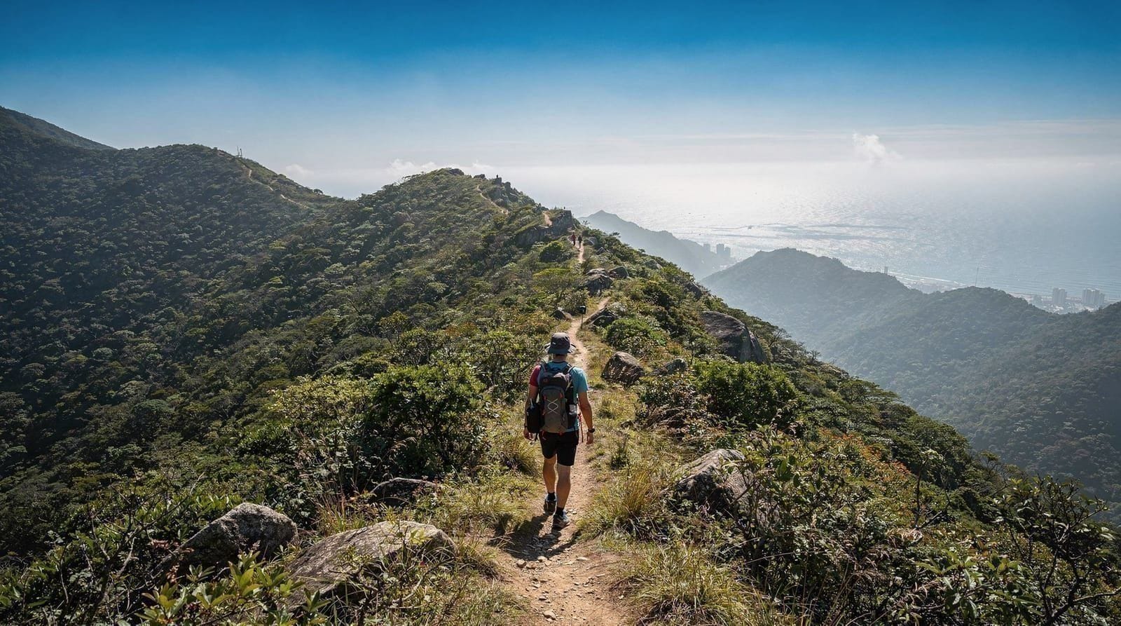
Section 3 (Ngong Ping to Lantau Peak, 3.5km, 2–3 hours one way): The most popular day-hiking section, accessed from the Ngong Ping plateau (cable car from Tung Chung). The trail climbs 500m from the plateau (394m) to Lantau Peak (934m). The upper section becomes rocky and requires hands-on scrambling in places. The summit views on clear days are the best in Hong Kong from a hiking perspective.
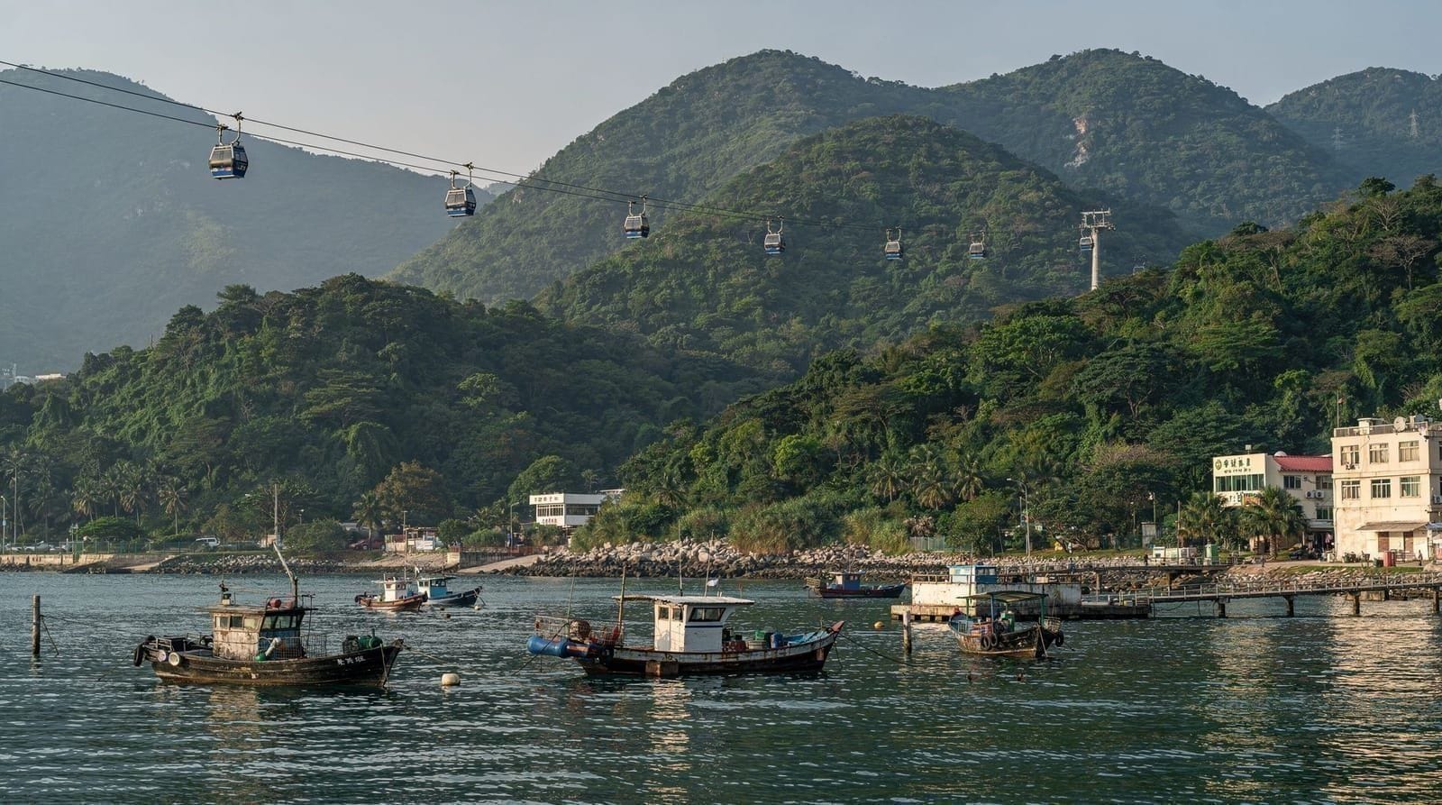
Big Buddha tour with Ngong Ping cable car — combine with the Lantau TrailCheck availabilitySection 4 (Lantau Peak to Yi O, 6.7km, 3–4 hours): From the summit, the trail continues eastward along the ridge and descends toward Yi O on the eastern coast. This is among the most remote sections of the trail — few casual visitors and significant descent on rocky terrain. Ends at Yi O from which Bus 3 connects to Tung Chung.
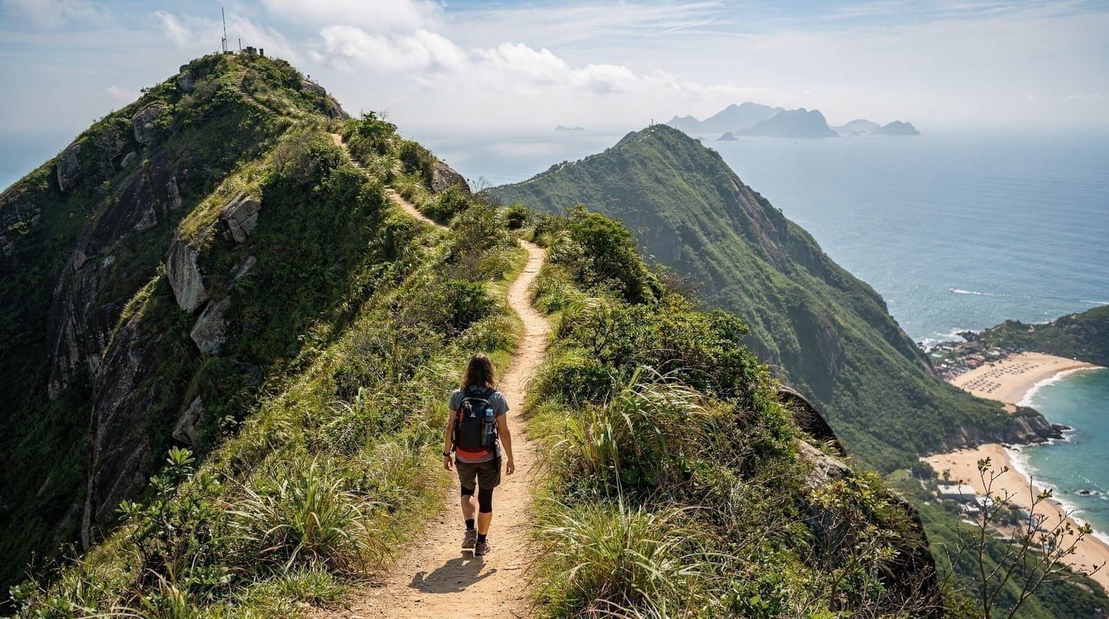
Sections 5–8 (Lantau’s southern coast): These sections from Yi O through Pui O, Cheung Sha, and Shek Pik traverse Lantau’s least-developed coastline. The landscape combines open coastal scrub, small farms, beach access (Cheung Sha beach is 2km of good sand), and the Shek Pik Reservoir. This stretch has the water buffalo encounters that make Lantau distinctive.
Sections 9–12 (Northwestern Lantau — Tai O area): These sections pass through or near Tai O fishing village and traverse the northwestern hills. Less dramatic than Sections 1–4 but more culturally interesting — Tai O, the Man Cheung Po campsite, and the varied coastal landscape. Section 12 returns to Mui Wo to complete the circuit.
Lantau Peak: what to expect at the summit
Lantau Peak (鳳凰山, Fung Wong Shan — Phoenix Mountain) is 934m, making it Hong Kong’s second highest peak after Tai Mo Shan (957m). The summit is characterised by:
The approach from Ngong Ping: The first 2km from the plateau are a clear path through open grassland and low shrubs. At approximately 600m the path becomes steeper and the vegetation thins. Above 800m the trail is rocky, with sections requiring hands-on boulder hopping. The final 200m approach to the summit from the north is the most technically demanding section.
The summit view: On a clear day (typically winter mornings — check Observatory visibility forecast before going), the view extends to the Pearl River Delta, Macau in the west, the South China Sea in the south, and the full sweep of Hong Kong’s islands. From above the cloud layer on a morning when the city is in smog, the summit can be entirely clear — a phenomenon local hikers pursue specifically.
Summit cairn and wind: The summit has a rock cairn and an orientation board. It is exposed to wind from all directions — carry a windproof layer even in summer. In winter the wind chill at 934m can be significant (temperatures 5–10°C below sea level values).
Cloud and visibility: Lantau Peak is in cloud more often than not outside winter. If visibility at the Observatory is “moderate” (5–10km) at sea level, Lantau Peak will likely be above the cloud layer. Check the forecast the evening before — plan B is the Big Buddha and Ngong Ping plateau.
The southern coast beaches
Lantau’s southern coast has some of Hong Kong’s best beaches — significantly less crowded and often cleaner than the main Hong Kong Island beaches:
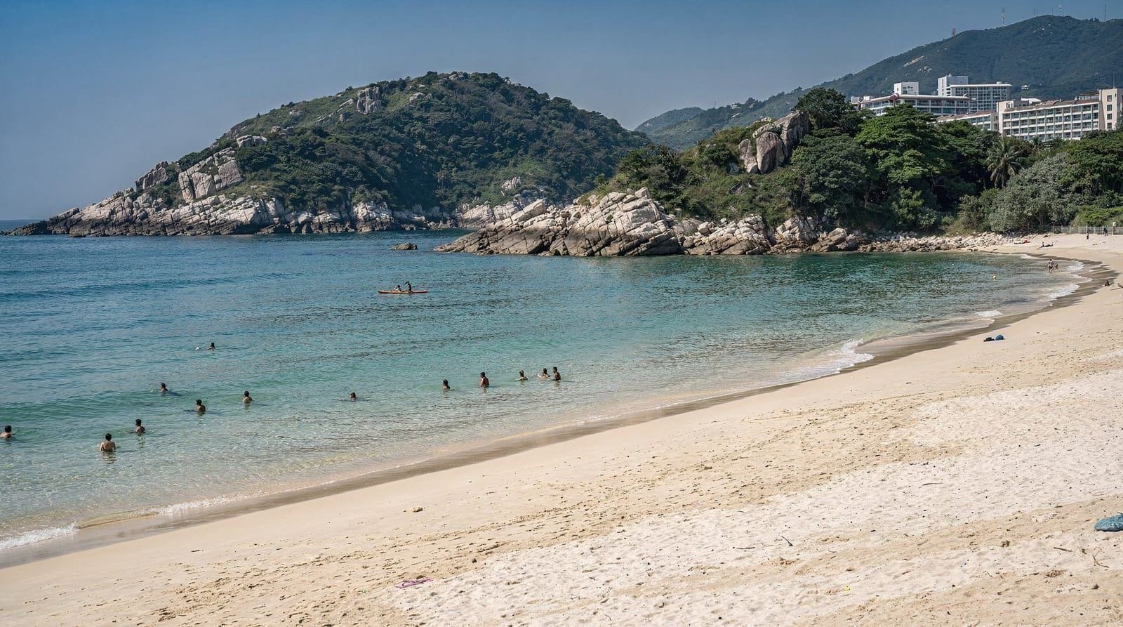
Cheung Sha Beach: Accessible from Section 7 of the Lantau Trail or by Bus 1 from Ngong Ping/Tung Chung. At 3.2km it is Hong Kong’s longest beach. Divided into Upper and Lower Cheung Sha; the Lower section has a shark net and better facilities. Small beach bar/restaurant (Stoep has operated here for years) and basic changing facilities. HK$0 entry.
Pui O Beach: Near Pui O village (accessible by bus or Section 5–6 of the trail), a smaller beach with shallow water and usually calm conditions. The water buffalo that graze in the adjacent marshland occasionally approach the beach — remarkable and slightly disconcerting.
For the full context on Hong Kong beaches and how the Lantau options compare, see the Hong Kong beaches guide.
Combining Lantau Trail with the Big Buddha
The Big Buddha visit and a Lantau Trail section can be combined on the same day if you are strategic:
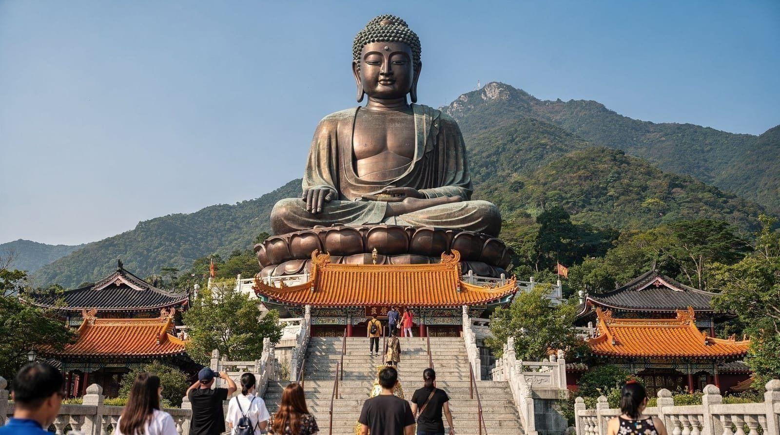
Option A (lighter): Take the cable car to Ngong Ping, visit the Big Buddha (2 hours), then walk Section 3 as far as the viewpoints above the plateau before returning (1.5 hours extra). This gives the trail experience without the full Lantau Peak summit.
Option B (full day, fit hikers): Arrive at Ngong Ping by cable car as soon as it opens (09:00 weekends and holidays, 10:00 weekdays). Hike Section 3 to Lantau Peak immediately (3–4 hours). Return to Ngong Ping (2 hours descent). Visit Big Buddha and Po Lin Monastery (1.5–2 hours). Return by cable car or Bus 23. This is a demanding day of 8+ hours.
Lantau Island day trip — landmarks and landscapePractical planning for multi-section days
Water: Available at AFCD campsites on the trail. For day hikes without campsite access, bring 2+ litres. The southern coast sections are hotter and more exposed than the mountain sections.
Footwear: Trail shoes minimum for all sections. Sections 3–4 (Lantau Peak) benefit from hiking boots with ankle support due to the rocky terrain.
Mobile coverage: Surprisingly good across most of Lantau — MTR and network providers have extended coverage across the island. Emergency SOS is available from most points.
Rescue: The Hong Kong Police Marine Region and AFCD maintain search and rescue capability across Lantau. In an emergency, call 999 and provide your trail section and approximate distance marker.
Season: October–March. Winter mornings on Lantau Peak can be cold — temperatures 5–12°C on the summit with significant wind chill. Pack more warm layers than you expect to need.
Practical information
- MTR to Tung Chung: Tung Chung Line, 30 min from Hong Kong
- Ferry to Mui Wo: Central Ferry Pier 6, 35–55 min (fast ferry HK$33.5, HK$48.5 on Sundays and holidays; slow-ferry fare on the operator’s site)
- Ngong Ping 360 cable car: From Tung Chung, adult return HK$295 standard cabin, HK$365 crystal cabin
- Trail marking: Red trail markers on all sections, distance posts every 500m
- Campsites: 6 AFCD sites along the trail (basic facilities, free)
- Maps: Free download from AFCD (afcd.gov.hk) or AllTrails app
How Lantau compares with Hong Kong’s other big hikes
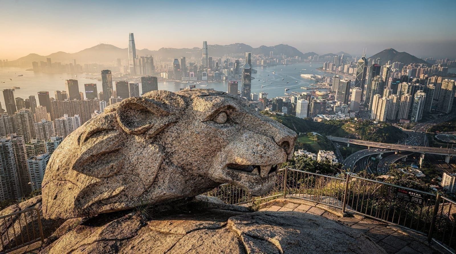
If you’re deciding which Hong Kong trail deserves your time, the honest comparison: the Dragon’s Back hike is shorter, easier, and more accessible for a half-day without transport hassle, with excellent coastal views but nothing like Lantau Peak’s scale. Lion Rock is a shorter, steeper climb close to Kowloon with an iconic skyline view. Lantau Trail’s Section 3 is the most demanding of the three and rewards it with the most dramatic summit. See best hikes in Hong Kong for the full ranked comparison across difficulty and access.
Who should hike Lantau vs just visit the Big Buddha
Not every visitor needs to hike. If your interest is the view and the cultural site rather than the physical challenge, the Lantau Big Buddha day trip covers the cable car route to Ngong Ping and Tai O without any hiking commitment — a better fit for families, first-timers, or anyone without a full day to spare. Reserve the trail itself for a dedicated hiking day, ideally on a different visit than your Big Buddha sightseeing, rather than trying to force both into a single rushed itinerary.
Where Lantau fits in a wider trip
The trail works best as one chapter of a longer stay rather than the whole plan. If you are still shaping the trip, the Hong Kong outlying islands guide shows how Lantau sits alongside the other islands, and the Hong Kong islands itinerary strings several of them together at an easy pace. The Lantau Island destination page covers the sights beyond the trail, including Ngong Ping and the Big Buddha and the fishing village of Tai O, which you pass near on the northwestern sections.
Timing matters as much as fitness. The best time to visit Hong Kong explains why the cooler months suit hiking, and the typhoon season guide is worth reading before you commit a date in summer or early autumn, since trails and transport can be disrupted when a warning goes up. Packing for a day on an exposed ridge is different from packing for the city, so the Hong Kong packing guide is a useful checklist for layers and footwear.
If the Lantau Peak climb feels like too much, the Hong Kong beaches guide and the gentler coastal sections offer a lower-effort way to enjoy the island, and a day on the Tian Tan Big Buddha plateau needs no hiking at all. Families weighing the cable car side of the island can also read the Ngong Ping 360 with kids guide.
Frequently asked questions about Lantau Trail guide — Hong Kong's most challenging long-distance walk
How do I reach the Lantau Trail?
How long does the full Lantau Trail take?
What is the hardest section of the Lantau Trail?
Can I do the Lantau Trail and see the Big Buddha on the same day?
What camping is available on the Lantau Trail?
Is Lantau Peak worth hiking to?
What wildlife might I see on the Lantau Trail?
Do I need to book anything in advance for the Lantau Trail?
Is the Lantau Trail suitable for a first-time Hong Kong hiker?
Top experiences
Bookable activities with verified prices and instant confirmation on GetYourGuide.