Sai Kung Geopark guide — volcanic columns, sea caves, and island hopping
Hong Kong: Sai Kung Geopark private boat tour and pickup
Duration: 8 hours
What is the Sai Kung Geopark and how do I visit?
The Hong Kong UNESCO Global Geopark in Sai Kung contains hexagonal volcanic rock columns formed 140 million years ago — among the finest examples in the world. The main formations are accessible by boat tour from Sai Kung pier (HK$100–200 per person) or kayak from High Island Reservoir. Get to Sai Kung by bus or taxi from Diamond Hill MTR (45 minutes).
A geological wonder within an hour of Kowloon
The Sai Kung district in Hong Kong’s New Territories contains one of the world’s finest examples of large-area volcanic hexagonal rock columns. The formations at High Island, Ninepin Group (Kwo Chau Islands), and the surrounding coastlines were designated a UNESCO Global Geopark in 2011 — one of only a handful in China and the first in Hong Kong.
The columns are extraordinary. Formed approximately 140 million years ago from volcanic super-eruptions that deposited rhyolite lava to depths of several kilometres, they cooled slowly enough to fracture in the characteristic hexagonal pattern that appears in cooled volcanic rock worldwide. The Sai Kung columns are exceptional for their size (individual columns 1–1.3m in diameter, 100m+ high in some sections), their preservation, and the combination of land and sea access that allows close-up viewing.
For visitors to Hong Kong who have done the urban highlights and want to understand the city’s other dimension — one of the best country park systems in Asia within a major metropolitan area — Sai Kung is the answer.
| Where | Sai Kung, eastern New Territories |
| Cost | Around HK$150–250/person for a boat tour |
| Time needed | Full day, including transport |
| Getting there | Bus 92 or minibus 1A from Diamond Hill MTR (~45 min) |
| Best time | Weekday mornings; book ahead for weekends |
Getting to Sai Kung town
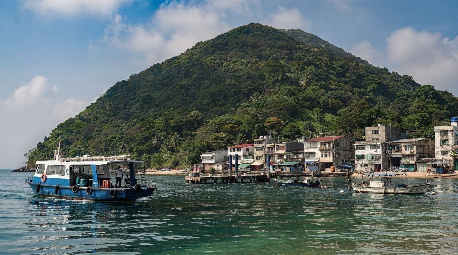
Sai Kung town is the gateway to the geopark. The town itself is a pleasant harbour settlement with seafood restaurants, a lively pier area where kaito (small village ferries) and boat tours depart, and the starting point for both MacLehose Trail hikers and geopark visitors.
From Diamond Hill MTR (Kwun Tong Line, exit C2):
- Bus 92 to Sai Kung Bus Terminus — approximately 45 minutes (Octopus card)
- Green minibus 1A — faster (35 minutes)
From Tsim Sha Tsui / Kowloon: Taxi approximately HK$150–200, 40–50 minutes in normal traffic. Significantly faster than bus on Sunday mornings when roads are clear.
From Hong Kong Island: Cross-Harbour Tunnel taxi to Diamond Hill (HK$80–100) then bus, or direct taxi HK$250–300+ to Sai Kung (60–80 minutes depending on traffic).
Driving/taxi note: The roads within the Sai Kung Country Park (toward High Island Reservoir and the MacLehose Trail) are accessible by taxi, but private vehicles require a permit. Taxi to High Island Reservoir East Dam from Sai Kung town: approximately HK$80–100.
The boat tours: how they work
Boat tours of the geopark depart from Sai Kung pier — the primary waterfront promenade. Two types of vessel:
Kaito (small traditional wooden boats): Individual kaito operators offer tours negotiated directly at the pier. These are informal and flexible; negotiate price, destination, and duration (typical: 3 hours, HK$150–250 per person for groups of 4–8). The advantage is flexibility — you can ask to stop at specific formations or beaches. The disadvantage is variable tour quality and no advance booking.
Organised group tours: Several operators offer fixed-route geopark boat tours with geological interpretation, from Sai Kung pier or from central Kowloon/Hong Kong Island. These typically run 3–4 hours, visit the major hexagonal column sites (High Island columns, Ninepin Group/Kwo Chau), and include basic interpretation. Pre-booking is essential on weekends and public holidays.
Sai Kung Geopark private boat tourStandard tour route: The typical geopark boat tour covers:
- High Island Reservoir East Dam area — land-perspective view of the columns
- The Ninepin Group (Kwo Chau Islands) — sea arch formations and column sea cliffs
- Nam She Tsim/Basalt Island — the “flaming red coast” where red rhyolite meets the blue sea
- (Optional) remote beach landing at Ham Tin Wan or Long Ke Wan
The formations at the Ninepin Group are among the most dramatic — tall hexagonal columns rising directly from the sea, with sea arches and caves cutting through the volcanic rock. The combination of blue-green water, the grey-black columns, and the open sea view toward Sai Kung’s outer islands is the defining visual of the geopark.
Kayaking the geopark: the immersive alternative
Sea kayaking gives a fundamentally different experience from the boat tour — you are at water level, paddling under sea arches, into sea caves, and along the base of the column formations. The experience of looking up at 50–100m hexagonal columns from a kayak in the entrance to a sea cave is genuinely extraordinary.
Organised kayaking tours from Sai Kung typically run 3–4 hours, include guides, equipment, and basic instruction. No prior kayaking experience is necessary for most tours (calm-water conditions in the sheltered eastern Sai Kung waterways). In choppy conditions some tours modify their routes.
Sai Kung Geopark kayaking adventureThe most accessible kayaking launch point is from the High Island Reservoir East Dam, where the sheltered reservoir side allows beginners to practice before heading to the sea-facing column formations. Tour operators providing this service typically include transport from Sai Kung town.
The MacLehose Trail: hiking into the geopark
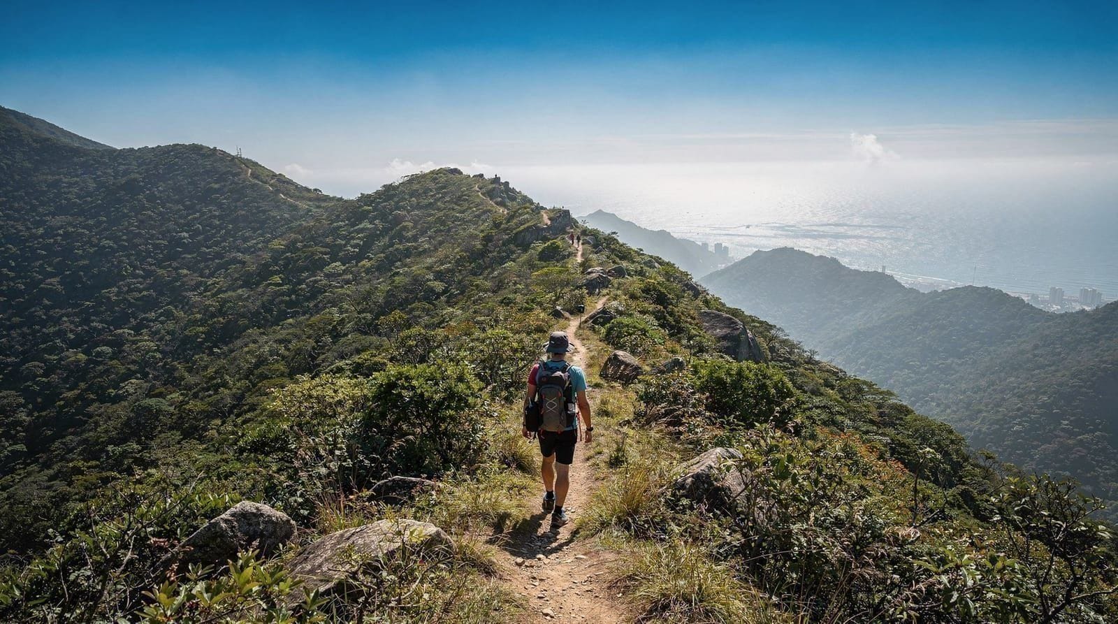
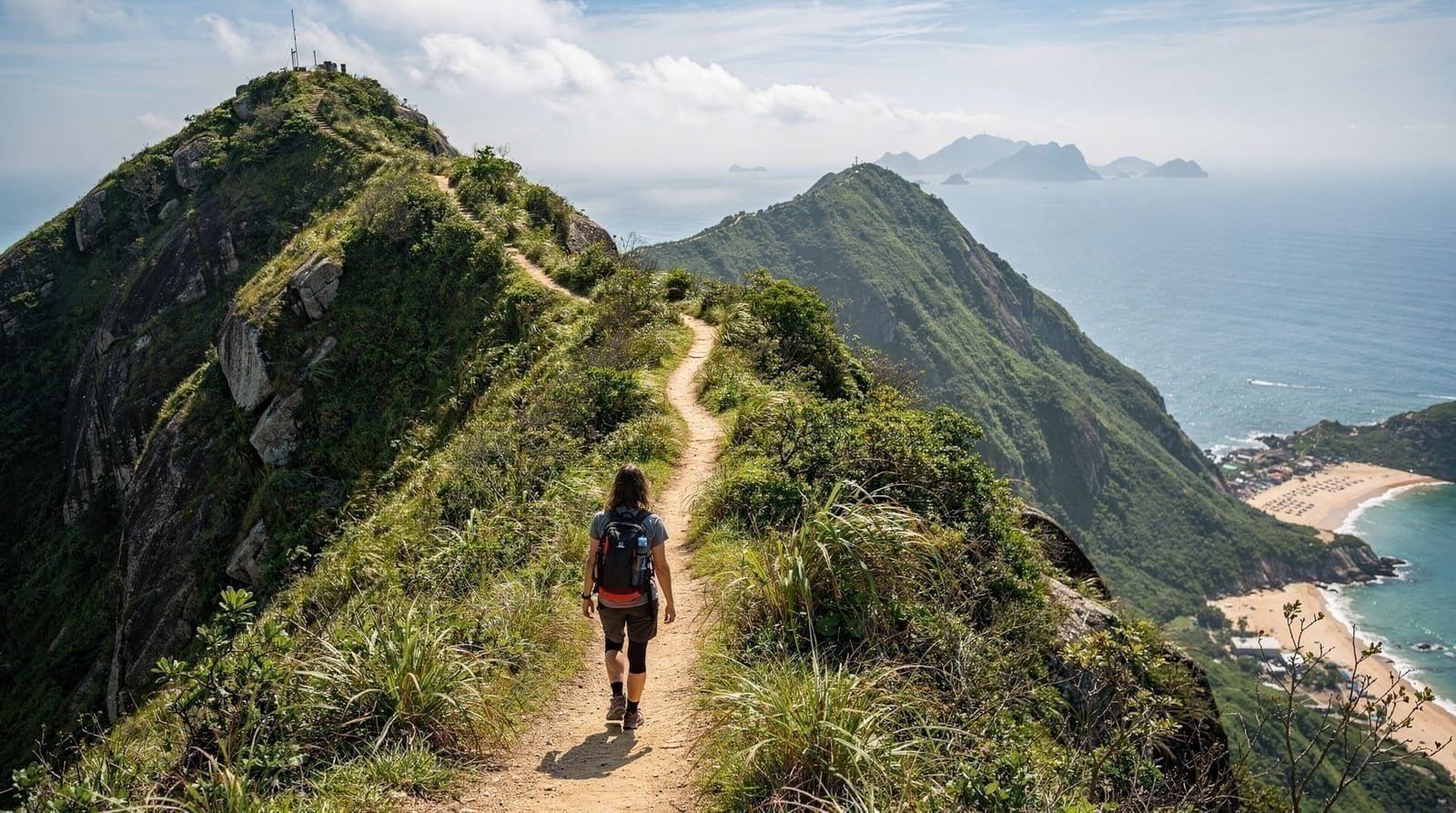
The MacLehose Trail — Hong Kong’s most famous long-distance hiking trail, 100km across the New Territories — begins (or ends, depending on direction) in Sai Kung at Pak Tam Chung. Sections 1 and 2 of the trail traverse the Sai Kung Eastern Country Park, passing through some of the most remote and scenically dramatic territory in Hong Kong.
Section 1 (Pak Tam Chung to Long Ke Wan, approximately 10km): Passes through the High Island Reservoir area, with land-accessible views of the East Dam and the geopark formations, and descends to the remote beach at Long Ke Wan — one of Hong Kong’s most beautiful beaches, accessible only by hiking or by boat. Allow 4–5 hours.
Section 2 (Long Ke Wan to Sai Wan, approximately 13km): Continues along the remote southern coast of the Sai Kung peninsula to the beaches of Sai Wan. This section is more demanding and requires a full day.
Reaching Pak Tam Chung: Bus 94 from Sai Kung town (30 minutes). The MacLehose Trail Section 1 trailhead is at the end of the bus route.
For the broader trail context, the best hikes in Hong Kong guide covers the MacLehose Trail sections alongside Dragon’s Back, Lion Rock, and the Lantau Trail.
Sai Kung town: eating and the seafood pier
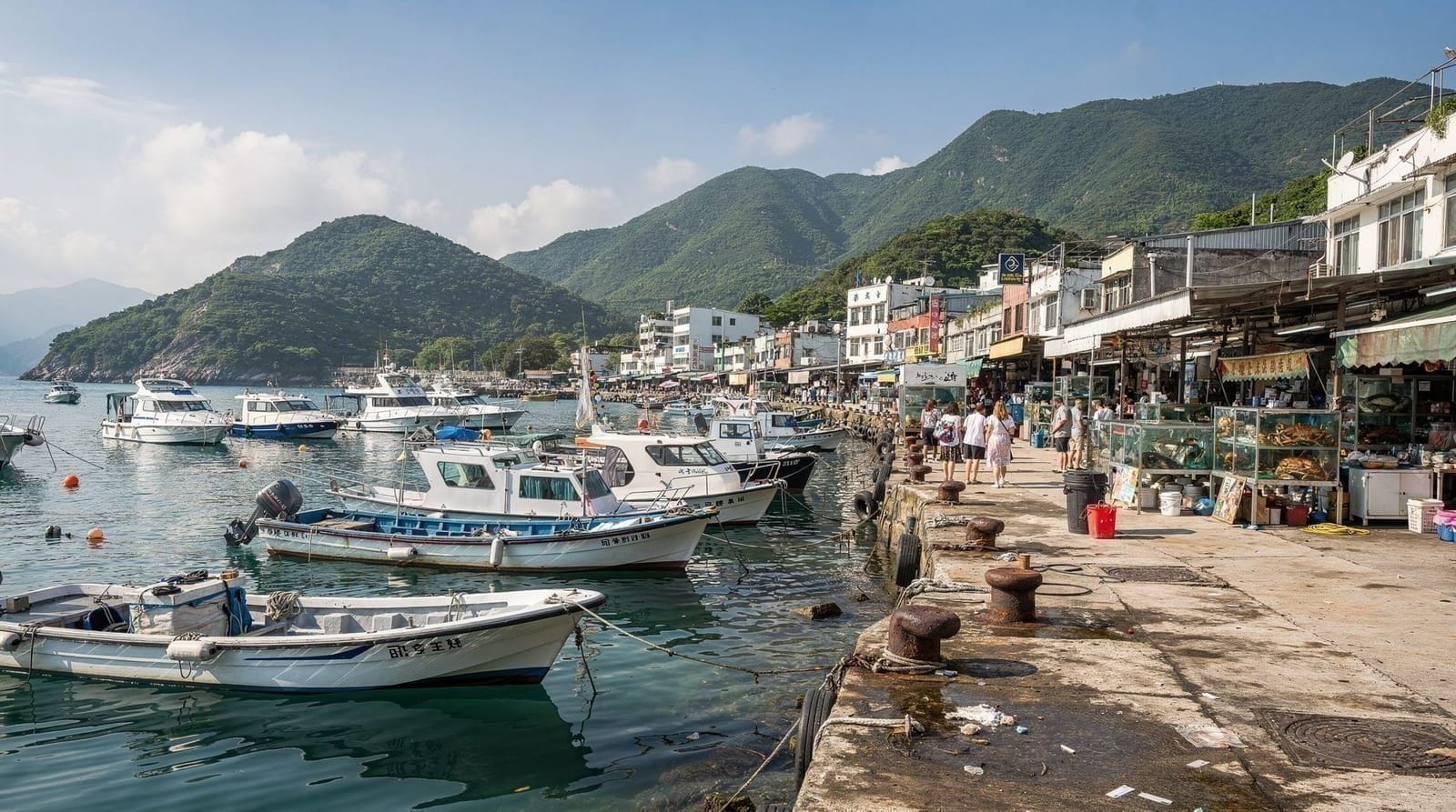
Sai Kung town’s harbour area has a cluster of seafood restaurants and the distinctive floating seafood tanks at the waterfront. Visitors can select live seafood from tanks and have it cooked to order in the adjacent restaurants — a standard Hong Kong experience that is best done in Sai Kung rather than the more touristy Aberdeen or the Stanley waterfront.
Typical Sai Kung seafood process:
- Walk along the waterfront restaurants (mainly on Po Tung Road and the pier area)
- Choose your seafood from the tanks — indicate size and quantity
- State how you want it cooked (steamed, stir-fried with ginger and scallion, steamed with XO sauce)
- Prices are by weight; confirm price before ordering
Approximate costs: Grouper HK$200–400/kg; prawns HK$120–200/kg; clams HK$80–120/kg; scallops HK$25–40 each. A meal for two with rice and vegetable dishes typically runs HK$400–700. This is not budget eating, but it is genuine seafood.
Non-seafood options: The roads behind the waterfront have a concentration of Asian cafes, congee shops, and a few Western restaurants. Sole Mio (Italian, on Sai Kung High Street) and Duke of York (British pub, nearby) serve non-seafood options. Steamers (at the waterfront, Australian-owned) does reliable Western café food for HK$80–130 per person.
Wild beaches: what’s worth the effort
The Sai Kung beaches accessible by hiking or kaito are significantly better than the main beach circuit (Repulse Bay, Stanley, Shek O) in terms of cleanliness, scenery, and crowd levels:
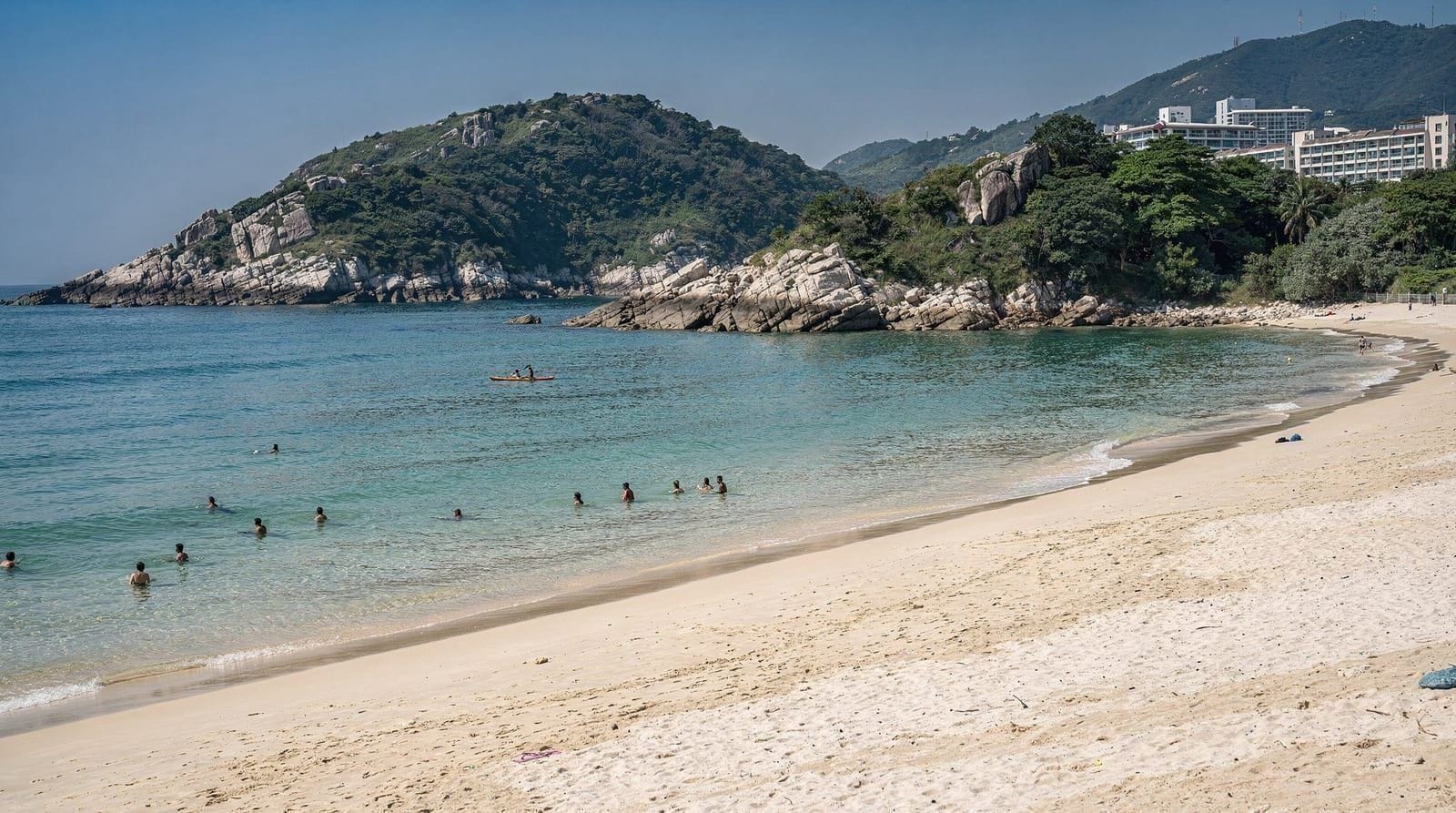
Ham Tin Wan: Accessible from MacLehose Trail Section 1 (3–4 hours’ hike) or by kaito from Sai Kung pier (negotiate the fare, approximately HK$60–80 each way for groups). White sand, clear water, small stream. Camping permitted with Country Park permit.
Long Ke Wan: End of MacLehose Section 1, more remote. Fine sand beach in a sheltered bay. Often cited as Hong Kong’s most beautiful beach. No facilities. Swimming shark nets are present during summer season.
Kiu Tsui Beach (Sharp Island): Accessible by kaito from Sai Kung pier (HK$30–50 per person return, 15 minutes). Sharp Island has the causeway connection to Kiu Tau island that appears and disappears with the tide — a tombolo formation that makes for dramatic photography when you can walk across it. The beach itself is clean and the island has basic toilets.
Geopark flaming red coast island hopping tourFor the full beach comparison across Hong Kong, see the Hong Kong beaches guide.
Practical planning
Book boat tours in advance for weekends: Weekends and public holidays see high demand for geopark boat tours and kayaking. Book at least 3–4 days in advance through reputable operators.
Weather dependency: Boat tours and kayaking are dependent on sea conditions. In rough weather (approaching typhoons, T1 signal or higher) tours are cancelled. Check weather and typhoon signals before departure. Sea conditions in the outer geopark areas can be choppy even without typhoon warnings; the inner waterways are more sheltered.
Timing: A Sai Kung geopark day starting at 09:00 (leaving Diamond Hill by 08:15) is ideal — arrive in Sai Kung by 09:00, boat tour 09:30–13:00, lunch in town 13:00–14:30, return to the city by 16:00–17:00.
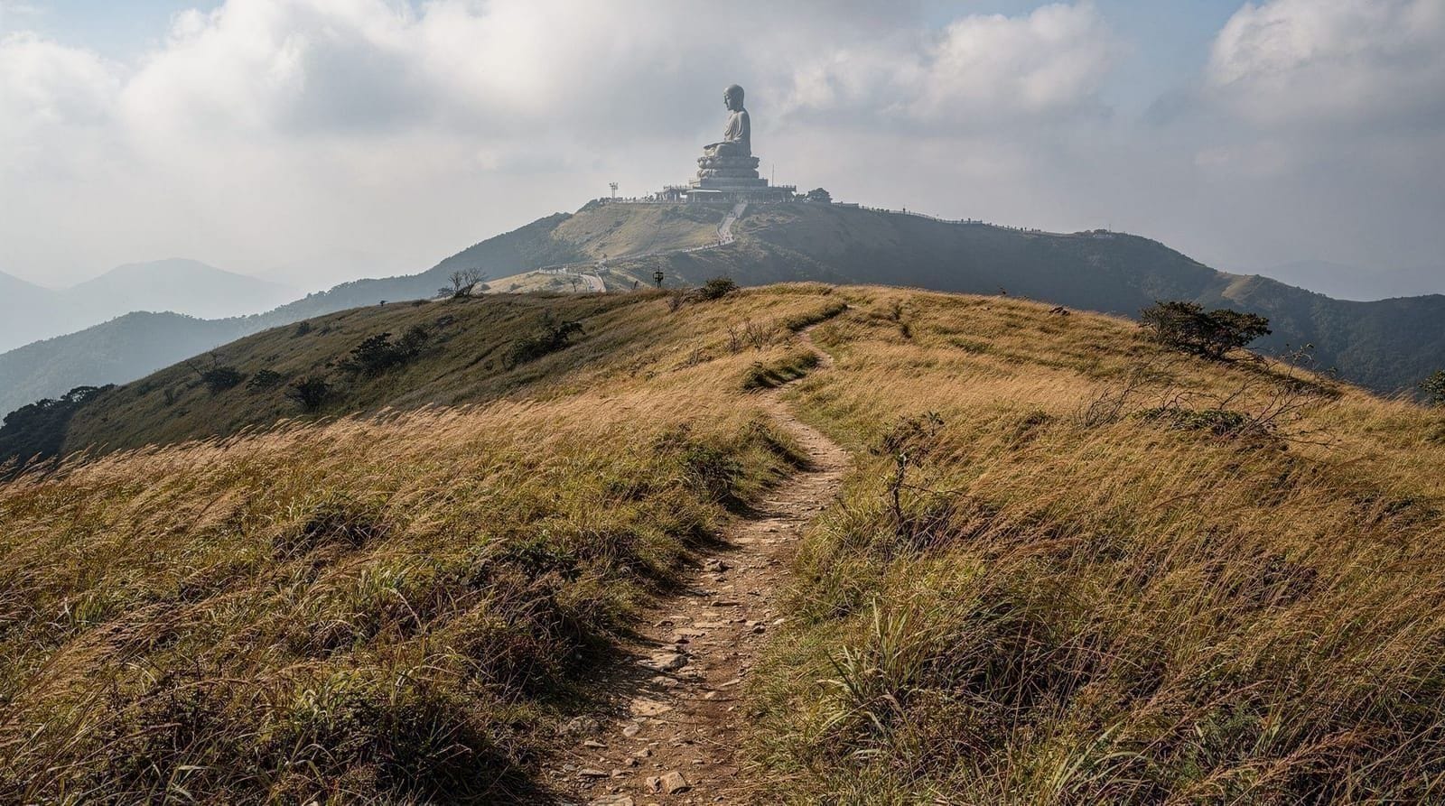
Combined itinerary with other New Territories: Sai Kung pairs well in a two-day New Territories circuit with Ten Thousand Buddhas Monastery in Sha Tin (30 minutes by bus from Sai Kung via Clearwater Bay Road) and the broader Sha Tin area.
What to pack for a geopark day
Sun protection matters more here than almost anywhere else in Hong Kong — you’re on open water for hours with reflected glare from the sea in addition to direct sun, and shade is minimal on most boats. Pack reef-safe sunscreen, a hat with a strap (wind on the water is common), sunglasses, and a dry bag or waterproof phone pouch if you’re kayaking. A change of clothes is worth having in the car or a locker back in town if a beach landing is part of your tour, since Ham Tin Wan and Long Ke Wan both invite a swim. Bring more water than you think you’ll need; there’s nowhere to buy any once you’re out on the formations, and the humidity is punishing even on an overcast day.
Boat tour vs kayaking: which to choose
Both options reach the geopark’s headline formations, but the experience differs enough to be worth deciding deliberately rather than defaulting to whichever tour comes up first in search results.
| Boat tour | Kayaking | |
|---|---|---|
| Fitness needed | None — you sit | Moderate; some paddling stamina helps |
| Access | Sea arches from the outside | Paddle directly into caves and arches |
| Group size | 8–20 people typically | Smaller groups, more personal |
| Duration | 3–4 hours | 3–4 hours |
| Best for | Families, older visitors, first-timers | Active travellers wanting close contact |
If you only have time for one, the boat tour covers more ground and suits a wider range of fitness levels; kayaking is the better choice if getting genuinely close to the rock — inside the caves, at water level — matters more to you than seeing the maximum number of formations.
Sai Kung kayaking adventure tourSai Kung vs Hong Kong’s other outdoor days
Visitors deciding between Sai Kung and Hong Kong’s other well-known outdoor excursions should know what makes it distinct. Unlike Dragon’s Back or the Lantau Trail, which are pure hiking days, Sai Kung’s headline experience is on the water, not the trail — the hexagonal columns simply aren’t visible from land in most places.
If a boat or kayak doesn’t appeal, the land-accessible portions (High Island Reservoir East Dam, MacLehose Trail Section 1) still deliver real geopark scenery on foot, just not the dramatic sea-cliff columns. For a broader survey of Hong Kong’s outlying islands and how Sai Kung compares, see the outlying islands guide.
Frequently asked questions about Sai Kung Geopark guide — volcanic columns, sea caves, and island hopping
How do I get to Sai Kung town?
What are the hexagonal rock columns in Sai Kung?
Do I need a boat tour to see the geopark?
What is the difference between a geopark boat tour and kayaking?
What beaches are accessible from Sai Kung?
What is the High Island Reservoir and is it worth visiting?
Is Sai Kung suitable for a day trip from central Hong Kong?
Top experiences
Bookable activities with verified prices and instant confirmation on GetYourGuide.